
Page 6 - Cocito_alii_2015
P. 6
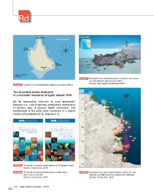
FIGURE 7   Example of an underwater path for divers, with icons
                                                                      of most relevant species and videos
                                                                      Source: http://egadi.santateresa.enea.it
            FIGURE 4   Location of 2 underwater itineraries at Levanzo Island

           Two illustrated books dedicated
           to underwater itineraries at Egadi Islands’ MPA

           All  the information  collected  on  each underwater
           itinerary (i.e., a list of species, bathymetric distribution
           of  species, type of  seabed, depth, orientation, and
           morphology of the path) were combined  in a digital
           format and published [8, 9], (Figures 5, 6).


            FIGURE 5   The book of underwater itineraries at Favignana Island
                   Source: Cocito et al., 2012
            FIGURE 6   The book of underwater itineraries at Marettimo     FIGURE 8   Example of an underwater transect, where all main
                   and Levanzo Islands                                species and features of the seabed are indicated
                   Source: Cocito et al., 2014                        Source: Cocito et al., 2012


            EAI    Energia, Ambiente e Innovazione    4/2015
       72